Last Updated on February 8, 2024 by Kim Labriola
About the Tanque Verde Valley area
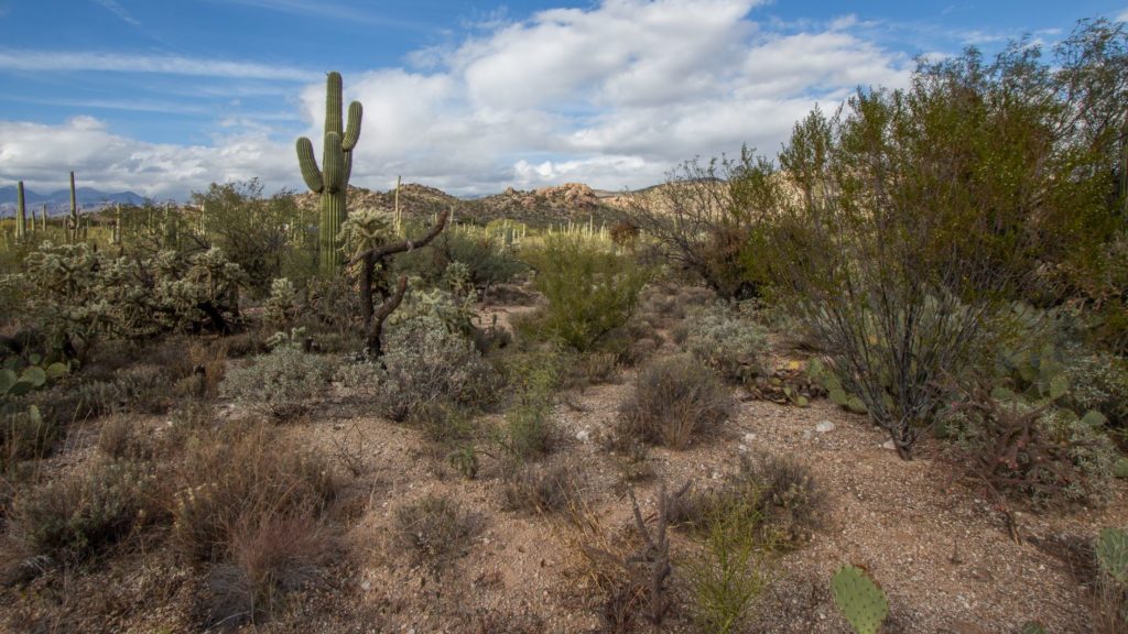
The Tanque Verde Valley is beautiful green area in northeast Tucson that abuts mountains and Saguaro National Park to the east. There was once a large prominent cattle tank which inspired the name that translates to “The Green Tank”. Much of the area is relatively lush green desert and there are several mesquite bosques. Many properties are zoned SR and CR1. These are larger parcels that may have horse privileges. Two school districts service Tanque Verde Valley: Tucson Unified School District and Tanque Verde School District. The bordering mountains, the proximity to a national park, and the zoning limit the population growth and make Tanque Verde Valley a desirable place to live.
Living in northeast Tucson is great. There are convenient amenities and shopping opportunities and several beautiful attractions in the Tanque Verde Valley including Agua Caliente Park, Saguaro National Park East, the Rincon Mountains, Catalina Highway, Redington Pass, McDonald Park, Tanque Verde Falls, and Tanque Verde Guest Ranch.
Homes for sale in Tanque Verde School District
Looking to buy or sell a home in the Tanque Verde area? Contact us today and let’s tailor a plan to your needs. Hello@RealTucson.com or 520-975-8956
Tanque Verde Valley History
Historically the Valley was used by the Native American tribe the Apache. Anglos began settling the area around 1861 as a small ranching and agricultural community. Soldiers from neighboring Camp Lowell also used the land. The Fort and the area known as El Fuerte is the subject of an upcoming blog. In 1886 a school district was created in the community. The army closed the fort in 1891. Over time smaller ranches were bought out by large ranches. After World War II increased demand spurred development and the area became more suburban.
Tanque Verde School District
Tanque Verde School District was established in 1885 for kindergarten to eighth grade for the rural ranching community of the Tanque Verde Valley located fourteen miles NE of Tucson. As the area grew and became more suburban the district evolved and now has approximately 2100 students and Tanque Verde High School was added in 2015. The schools now include: Agua Caliente Elementary, Tanque Verde Elementary, Emily Gray Jr. High, Tanque Verde High School.
The Tanque Verde School district boundary begins in the North and runs South along Houghton Road to the Tanque Verde wash. It jogs over East to Tanque Verde Loop Road and then heads South on Melpomene Way. It reaches its Southern border at Irvington Road and goes east to Saguaro National Park. Link to map
Report Card: The school district consistently scores high on the report card please check for its current grade.
Popular neighborhoods within the Tanque Verde School District area are:
- 49ers Country Club Estates
- La Cebadilla Estates
- Agua Caliente Estates
- La Bella Vista
- Green Ridge
- Mira Vista Estates
- Old Spanish Trail Estates
- Palo Verde Ranch
- Sneller Hills
- Snyder Canyon Estates
- Bel Air Ranch Estates
- Tres Lomas Verdes
Interested in buying or selling a home in Tucson? Contact us to go over your needs. 520-975-8956 or Hello@RealTucson.com
Tanque Verde Valley Attractions
Agua Caliente Park
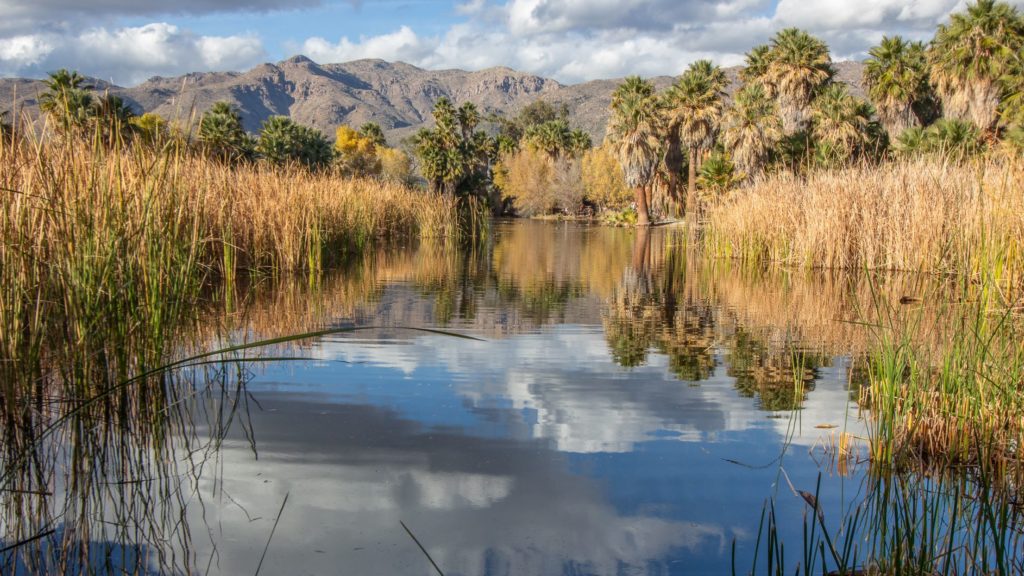
Aqua Caliente is a 101-acre park that features a perennial warm spring and pond that is home to a rich mix of plants and animals. The name means hot water in Spanish. Humans have used the spring dating back 5,500 years there is evidence of a Hohokam village dating to 1150 AD. In 1873 a ranch and health resort were established that promoted the curative properties of the springs. The springs suffered some well-intentioned blasting that was intended to increase the water flow, but instead had the unintended consequence of limiting the flow.
In 1984 Tucson businessman Roy P. Drachman donated $200,000 to purchase the ranch, and the park opened on January 9, 1985. The park features the spring and pond, plenty of palm trees, an art gallery in the ranch house, as well as the Tucson Audubon Nature shop.
Saguaro National Park East
Saguaro National Park is a 92,000 acre park that is home to the beautiful Saguaro cactus which can live over 150 years and grow to heights of 50 feet and mass of 8 tons. These treasures are only found in the Sonoran Desert in Northern Mexico and Southern Arizona. The park is separated into two districts called referred to as Saguaro Park West and Saguaro Park East. Historically the area was inhabited by the Hohokom, Tohono O’odam and Apache tribes, early Spanish explorers, missionaries, and later homesteaders.
President Herbert Hoover created the national monument in 1933. President John Kennedy expanded the monument in 1961 to include the west portion in the Tucson Mountain District and it became Saguaro National Park in 1994. The park is bordered by the Coronado National Forest on the north, east, and southeast. It includes an eight mile paved road as well as hiking trails, picnic and camping areas and opportunities for biking and horseback riding.
Interested in buying or selling a home in Tucson? Contact us to go over your needs. 520-975-8956 or Hello@RealTucson.com
Catalina Highway
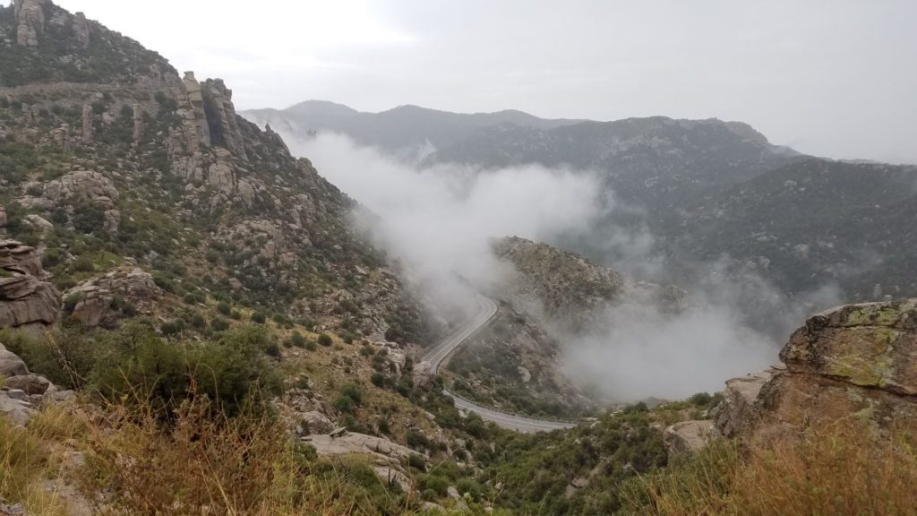
The Catalina Highway is a 30-mile road from Tucson up to Mount Lemmon, the highest Peak in the Catalina Mountains. The road does not reach the top but ends at the village of Summerhaven which is home to the nation’s southernmost ski area. The highway was built during the Great Depression and many improvements were made by the Civilian Conservation Corps (CCC). The area is also known as a Sky Island because the mountain terrain homes a variety of plant and animal life in a larger conifer forest as well as geological formations such as hoodoo rock formations. Several scenic stops are are along the way including Windy Point. University of Arizona houses an observatory and there are a few restaurants and shops in Summerhaven.
Rincon Mountains
The Rincon Mountain Range is one of Tucson’s four mountain ranges and is near Saguaro National Park East. The name means corner in Spanish. The highest peak is Mt. Mica at 8668 foot elevation. The mountains are inaccessible by motor transport, but they are accessible for hiking and horseback riding.
Redington Pass
Redington Pass separates the Catalina and Rincon Mountains. It is a forty-two mile primitive unpaved road that separates Tucson on the west from the communities along the San Pedro River on the east. This is a popular four-wheel drive recreational drive and it can be slow going.
Tanque Verde Falls
Tucked in the middle of some very harsh desert country is Tanque Verde Falls, which is a 75-foot waterfall that creates an oasis in the desert. The hike there is for experienced hikers which should be approached with care as it can be dangerous. The hike is a day hike and begins at a paved parking area, goes down some gentle switchbacks. Within about ½ mile you reach the canyon floor. From there it is not a designated trail. Head upstream and cover another 3/4 mile approximately over terrain that requires scrambling and bouldering to pass.
Tanque Verde Guest Ranch
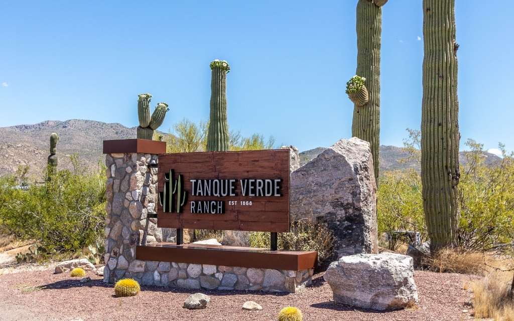
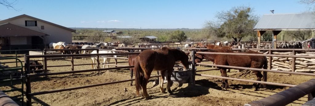
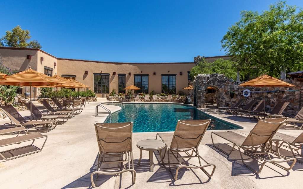
Located near Saguaro National Park East and the Coronado national forest is an authentic working 640-acre dude ranch. Tanque Verde Guest Ranch was founded in 1868 and provides lodging, dining, horseback riding, trail riding, nature walks, guided hiking, and mountain biking.
Arizona National Golf Course
Located in the beautiful Catalina Mountains is Arizona National Golf Course. This 6776 yard, par 71 course was designed by Trent Jones Junior. The golf course is within the Sabino Springs neighborhood.
McDonald Park
McDonald park is a 38-acre public park in Northeast Tucson. The park offers lighted baseball and softball fields, shaded playgrounds, a football field, jogging trail, six covered picnic ramadas with BBQs as well as eight unshaded picnic areas and two dog runs.
Are you looking to buy or sell a home in the Tanque Verde Valley? Contact us today to go over your needs:
Hello@RealTucson.com or 520-975-8956
Related Articles
Dorado Country Club Neighborhood
Dorado Country Club Estates is a northeast side Tucson neighborhood that was built around a…
The Lakes at Castle Rock – It’s All About the Amenities
The Lakes at Castle Rock is a unique gated neighborhood on Tucson’s northeast side with…
Sabino Springs neighborhood and Arizona National Golf Club
Tucson’s Sabino Springs is a beautiful neighborhood tucked into the eastern foothills of the Catalina…
Indian Ridge: Mid-Century Modern Meets the Sonoran Desert
Indian Ridge Historic District in Tucson, Arizona Indian Ridge is a beautiful mid century modern…
Windsor Park – Mid Century Modern in Northeast Tucson
About Windsor Park Neighborhood Windsor Park is a small community of roughly 125 mid-century modern…
Tucson Country Club Estates: Luxury Living
Neighborhood Spotlight: Tucson Country Club Estates Tucson Country Club is a beautiful golf community on…

